Our work

Portfolio

A selection of aerial data projects across Wyoming and the Mountain West — from precision mapping to cinematic video.

Watch our work on YouTube

Flight footage, project walkthroughs, and behind-the-scenes ops

@DataHarvestLLC

Aerial Video

See the work in motion

HomePortfolio
2 projects
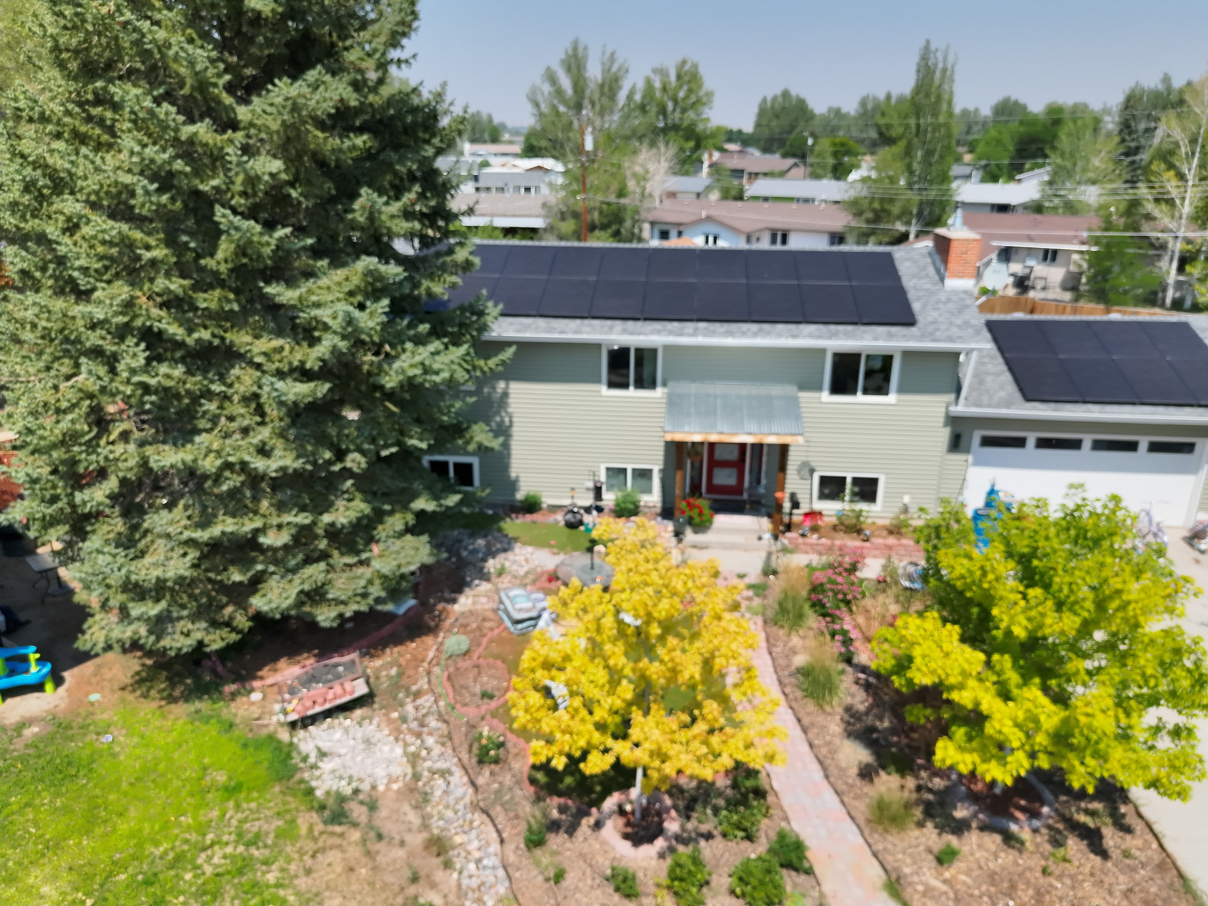
Residential Property — Solar Array Overview
Aerial Photography
8 photos
Riverton, WY

Residential Property — Solar Array Overview

Aerial photography of a residential property featuring rooftop solar panels, mature landscaping, and surrounding neighborhood context.

View Photo GalleryReal Estate / Residential
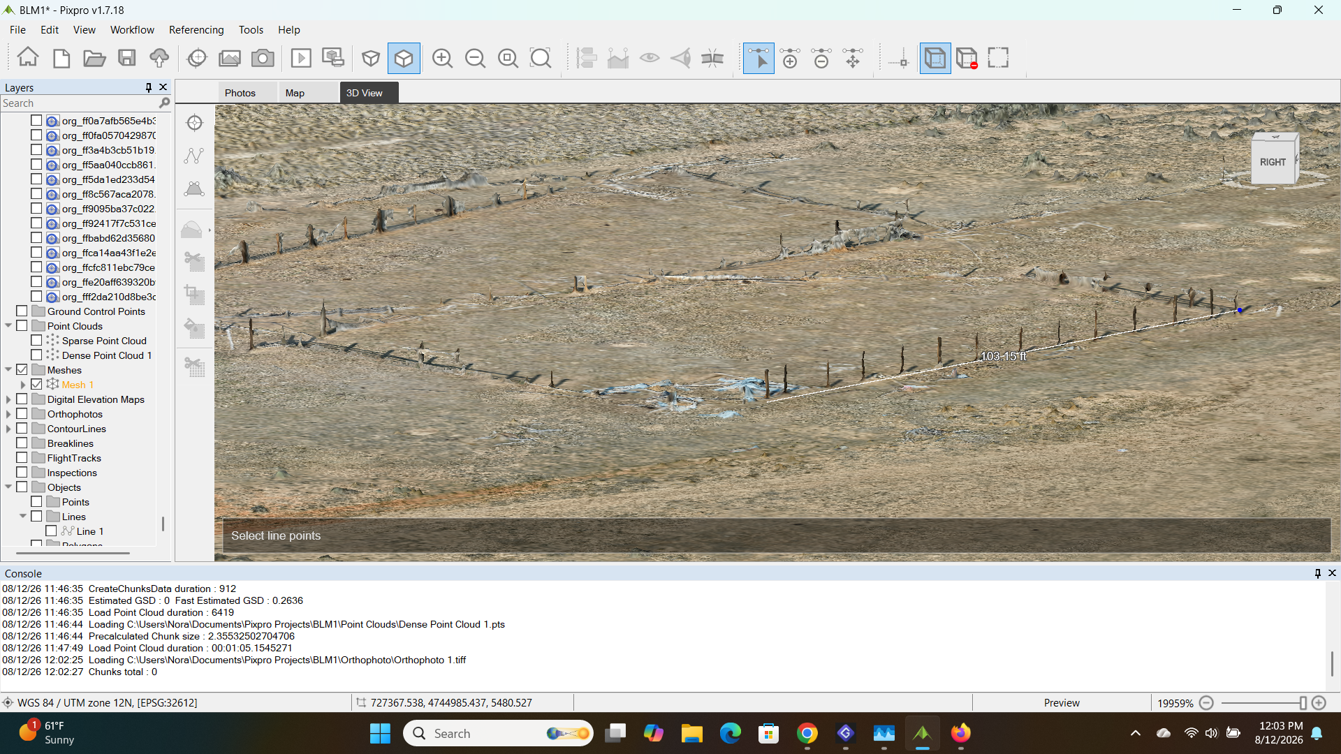
BLM Land Survey — 3D Photogrammetry & Point Cloud
Mapping & Surveying
Photogrammetry
Wyoming (BLM)

BLM Land Survey — 3D Photogrammetry & Point Cloud

Full photogrammetric processing of a BLM survey site — dense point cloud, mesh reconstruction, orthophoto, and contour generation using Pixpro. Deliverables include georeferenced orthomosaics and digital elevation models at survey-grade accuracy.

Land Survey / GovernmentSimilar project?
Work with us

Have a project in mind?

We'd love to hear about it. Get in touch for a custom quote.